Yves Otto · 18 September 2026
Lichen Surface Textures as Markers of Historical Industrial Pollution in Coastal Environments
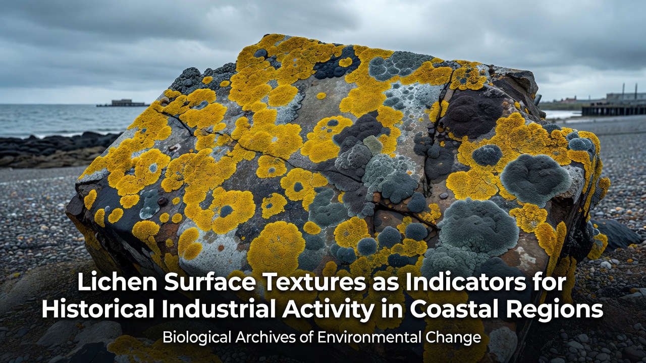
Coastal regions worldwide retain physical traces of past manufacturing and shipping operations through changes in lichen growth patterns, and surface textures on these organisms provide measurable records of airborne contaminants deposited decades earlier. Researchers map these textures by examining crust thickness, surface cracking density, and thallus smoothness on rock faces exposed to prevailing winds from former factory sites.
Texture Variations and Pollutant Signatures
Industrial emissions release heavy metals and sulfur compounds that alter lichen morphology, and field measurements show that areas downwind of historical smelters often display flattened, less fissured surfaces on crustose species compared with cleaner reference sites. Data from multiple coastal transects indicate that lead and zinc concentrations correlate directly with reduced areole development, while smoother margins appear where particulate fallout exceeded certain thresholds during active operations. These patterns persist long after facilities close because lichens grow slowly and retain structural evidence of earlier stress conditions.
Coastal humidity accelerates some reactions yet preserves others, and observers note that salt spray interacts with metal residues to produce distinct pitting on foliose lobes in zones once dominated by shipbuilding or chemical processing. Studies conducted along the North American Pacific and Atlantic shores demonstrate consistent differences in surface roughness indices when samples are grouped by distance from documented emission sources active between 1950 and 1980.
Methods Used in Field Assessments
Teams employ portable profilometers and digital microscopy to quantify texture parameters without removing specimens, and protocols established by environmental agencies standardize measurements across sites. Sampling grids typically extend two to five kilometers inland from shorelines, capturing gradients that reflect both sea breezes and historical stack plume directions. Researchers cross-reference texture data with archived industrial records and sediment cores to establish timelines of deposition events.
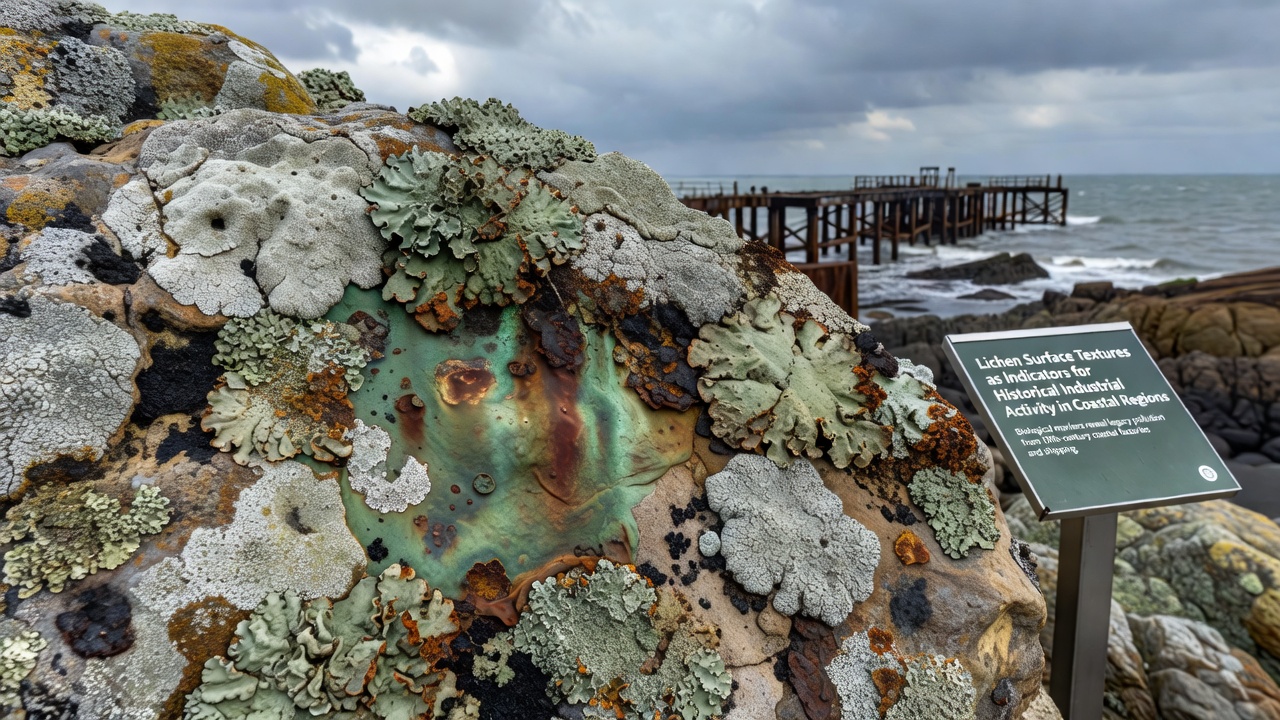
Statistical models separate natural weathering effects from pollution legacies, and validation against known emission inventories confirms that texture metrics improve when combined with elemental analysis of the same thalli. European Environment Agency reports document similar approaches applied to Baltic and North Sea coasts, where former steel and fertilizer plants left measurable signatures in lichen surfaces decades after production ceased.
Regional Examples and Data Trends
Along the Gulf of Mexico, sites adjacent to mid-century petrochemical corridors exhibit higher frequencies of compacted lichen surfaces, whereas comparable rocky shores farther from those corridors retain more complex, ridged structures. Australian monitoring programs around former ore-handling terminals report parallel findings, with texture indices shifting measurably within one kilometer of historical loading facilities. These observations align with sediment records showing elevated cadmium and arsenic levels from the same periods.
September 2026 marked the release of a coordinated dataset compiled from twelve coastal observatories spanning four continents, and the figures reveal that texture-based indicators remain stable over multi-year intervals when disturbance is minimal. The compilation incorporated measurements taken at locations where industrial activity ended between 1975 and 1995, providing a temporal window during which pollutant signatures had time to stabilize within lichen structures.
Integration with Broader Environmental Records
Texture surveys complement atmospheric modeling and soil sampling, and agencies such as the United States Environmental Protection Agency incorporate lichen data into retrospective exposure assessments for coastal communities. Because lichens lack roots and accumulate substances directly from air and precipitation, their surface characteristics serve as spatially resolved proxies that sediment cores alone cannot supply. Cross-validation exercises show that combining texture analysis with isotopic fingerprinting strengthens attribution to specific industrial processes.
Continued mapping efforts focus on under-documented shorelines in Southeast Asia and South America where rapid urbanization overlays older industrial footprints. Preliminary texture classifications from these regions match patterns observed in better-studied temperate coasts, suggesting the method transfers across climatic zones when local species baselines are established first.
Conclusion
Surface texture analysis of lichens supplies durable, low-cost indicators of historical industrial activity along coastlines, and the approach integrates readily with existing environmental monitoring frameworks. Data accumulated through 2026 confirm that measurable morphological changes persist in areas once exposed to airborne metals and acids, offering a biological archive that complements physical sediment records. Ongoing standardization of measurement protocols supports wider application across diverse geographic settings.